


NISAR satellite lifts off from India to deliver unprecedented Earth observation capabilities, tracking surface changes for disaster and climate monitoring.
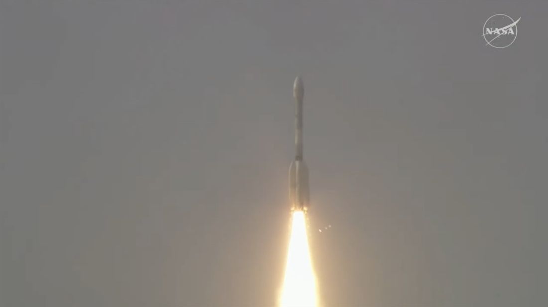
Sriharikota, India: The NISAR (NASA-ISRO Synthetic Aperture Radar) Earth observation satellite has been successfully launched from India’s Satish Dhawan Space Centre. The joint NASA-ISRO mission will track Earth’s land and ice surface changes in remarkable detail, marking a major milestone in international space cooperation.
NISAR is equipped with L-band and S-band radars, a global first in Earth observation satellites. These radars will provide near real-time, 3D imaging of Earth’s dynamic surface features—from tectonic shifts and ice movements to forest biomass and agriculture patterns—at centimeter-level precision.
Lifted by ISRO’s GSLV rocket, NISAR will orbit 747 km above Earth and scan nearly all land and ice-covered areas every 12 days. This includes remote polar regions often missed by other satellites. The data will support disaster preparedness, infrastructure safety, agricultural planning, and climate monitoring worldwide.
“This landmark collaboration blends the strengths of NASA’s L-band radar and ISRO’s S-band innovation,” said ISRO Chairman V Narayanan. “It’s our first GSLV mission to Sun-synchronous polar orbit—ushering in a new era for scientific Earth observation.”
NASA’s Jet Propulsion Laboratory contributed the L-band radar, while ISRO’s Space Applications Centre built the S-band radar. This dual radar approach will deliver unmatched imaging through clouds and darkness.
NASA’s Nicky Fox called it “a first-of-its-kind mission that enables data-driven disaster response and infrastructure safety.” With both agencies sharing development, calibration, and data handling responsibilities, the mission sets a precedent for future joint space efforts.
As the radar antenna unfolds during a 90-day commissioning phase, NISAR will begin delivering data to scientists and policy-makers to better understand Earth’s evolving surface.
The NISAR mission is set to revolutionise global environmental monitoring, making space-based Earth observation more comprehensive, collaborative, and actionable.


