


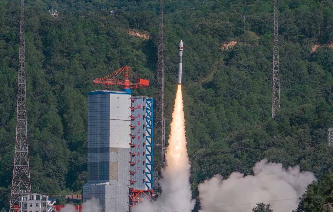
ISLAMABAD: Pakistan successfully launched its advanced remote-sensing satellite, PRSS-1, into orbit on Thursday from the Xichang Satellite Launch Centre in China’s Sichuan province. The launch was conducted aboard a Kuaizhou-1A (KZ-1A) rocket and marked a significant step forward in the country’s space and environmental monitoring capabilities.
Developed by Pakistan’s national space agency SUPARCO, the PRSS-1 satellite aims to enhance earth observation through high-resolution imaging and data collection. Its applications span across various sectors, including precision agriculture, land use planning, environmental surveillance, and disaster management.
Equipped with cutting-edge sensors, the satellite will allow real-time monitoring of natural disasters such as floods, landslides, glacier melts, and earthquakes. It will also help track deforestation and provide crucial data for sustainable urban development. The Associated Press of Pakistan noted that the satellite will be instrumental in improving national resilience and disaster response strategies.
Moreover, PRSS-1 will play a vital role in infrastructure development under the China Pakistan Economic Corridor (CPEC). It will assist in identifying geohazard risks, planning transport routes, and ensuring safety and efficiency in ongoing and future projects.
This launch reinforces the technological cooperation between Pakistan and China in the field of space and aligns with Pakistan’s broader goal to leverage satellite technologies for national development and climate resilience.


